

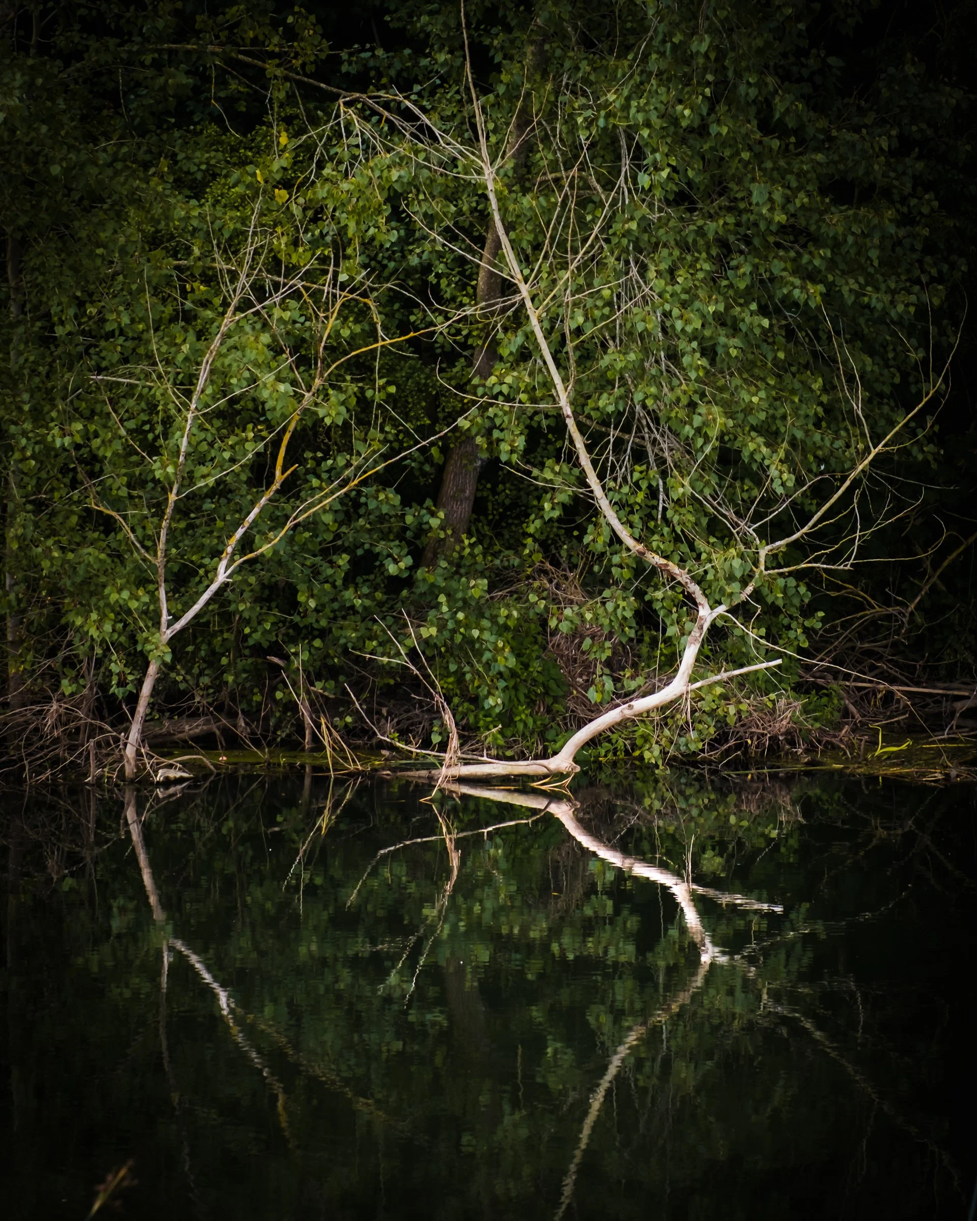

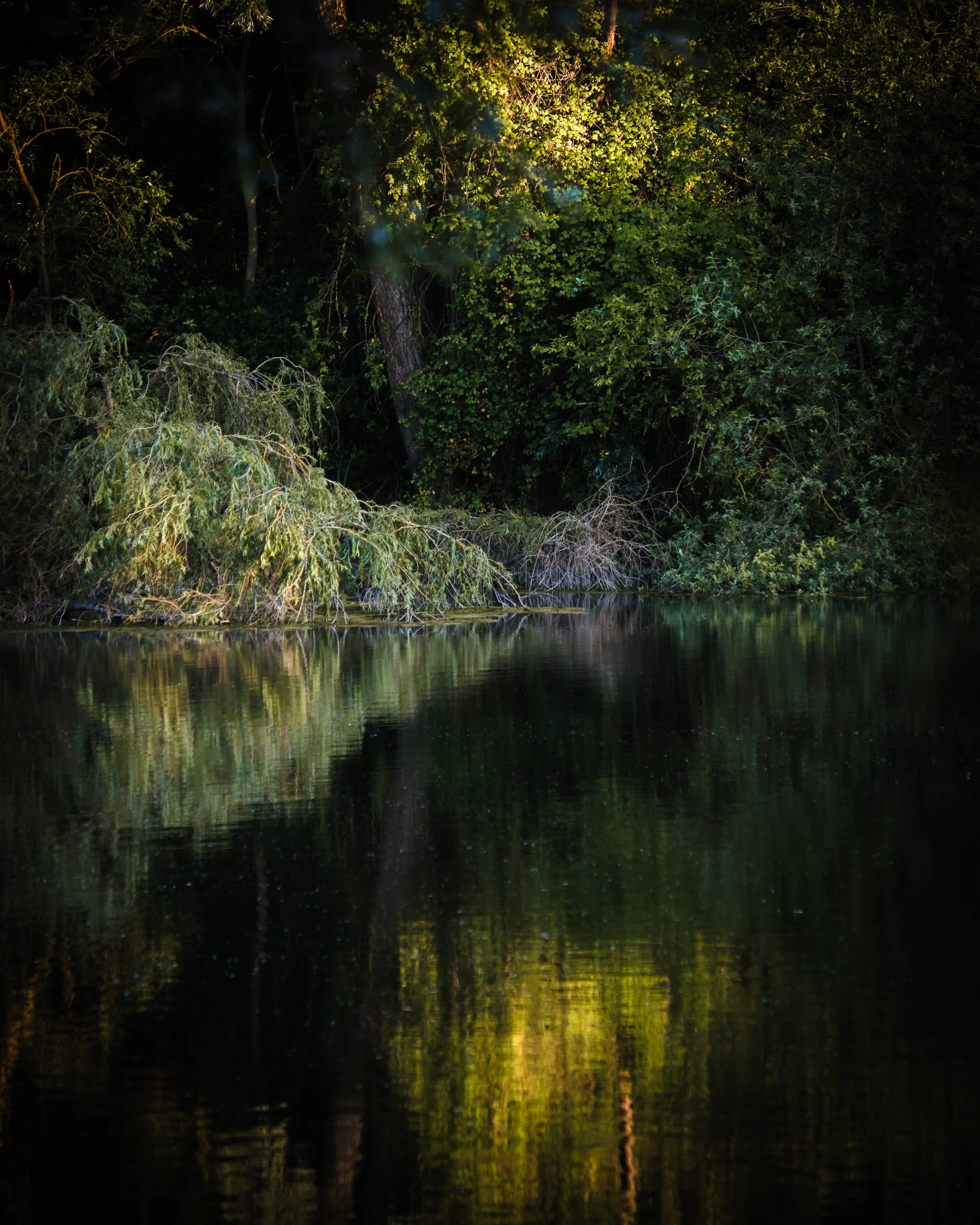


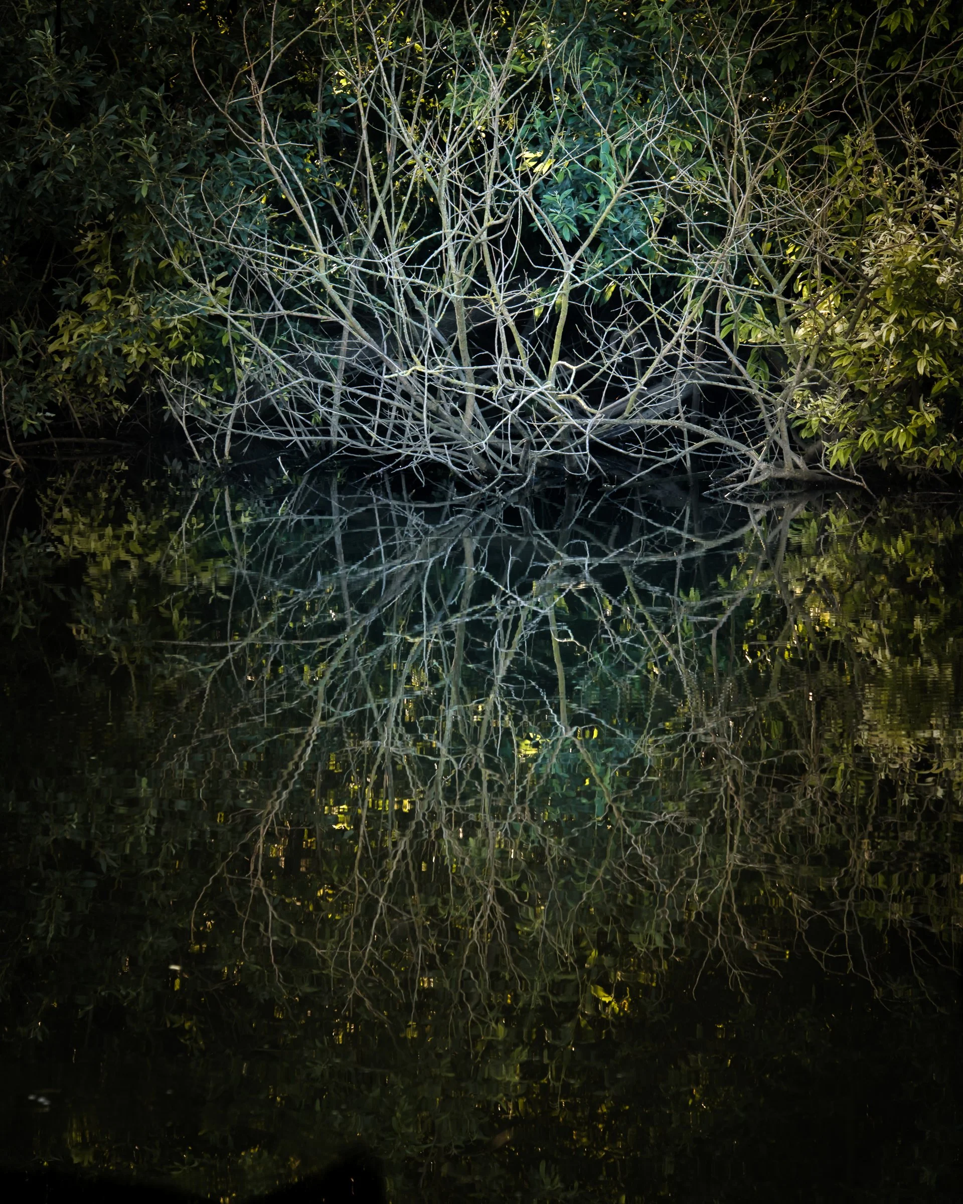


Pachstone is the name given in the Doomsday book of the area where this project was made. It is a study of the symbiotic relationship between a sand and gravel quarry, and the nature reserve that resides on the land where aggregates have been removed.
I’ve lived in St Neots for over 25 years and have regularly spent time at Paxton Pits to walk, enjoy the nature, and in the past few years walk my dog. In the spring of 2024 I tried to explore and reflect the relationship of the nature reserve and the aggregates quarry at Paxton Pits, Little Paxton, Cambs. The project is about the sustainability of quarrying aggregates to build houses and roads nearby and then using the quarried land to construct wildlife habitats. It is the first project I made where landuse choices became a central interest to the images I was making.
The work combined archive images of maps where the aggregates have been used and archaeological finds from the locality